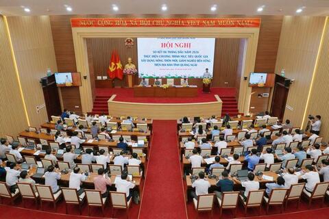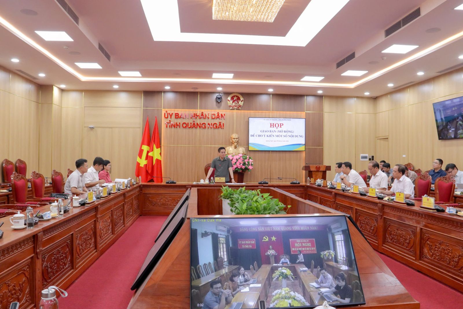


On June 10, Vice Chairman of the Provincial People's Committee Đỗ Tâm Hiển chaired a meeting to review progress in land surveying, cadastral mapping, and land data digitization across the province.

Scene of the meeting
Addressing the meeting, Vice Chairman Đỗ Tâm Hiển emphasized that this is a key political task implemented under the direction of the Politburo, the Prime Minister, the Ministry of Agriculture and Environment, and the Ministry of Public Security, with the overarching objective of completing the national land database in 2026.

Vice Chairman Đỗ Tâm Hiển speaks at the meeting
To effectively carry out the task, he requested heads of agencies, units, and local authorities to uphold their sense of responsibility, strictly implement provincial directives, accelerate progress, and complete land database development according to schedule, striving to finalize and standardize land data across the province by the end of 2026.
The Department of Finance was assigned to coordinate with the Department of Agriculture and Environment (DoAE) in urgently advising the PPC on allocating funding for cadastral surveying activities. Priority should be given to ensuring that land data are “accurate, complete, clean, and dynamic,” while timely funding allocations must be secured to avoid delays in completing the land database.
The PPC’s Vice Chairman also directed the DoAE to coordinate closely with the Provincial Police in developing a specific cooperation plan aimed at reducing intermediary procedures, simplifying administrative processes, and accelerating the integration and synchronization of land data with the National Population Database. The DoAE was instructed to continue providing timely professional guidance to localities, strengthen inspection and supervision of implementation in all 65 communes and wards, and contribute to the completion of land database synchronization in line with central government requirements.
In addition, the DoAE was requested to expedite procedures and organize bidding processes for projects in 25 communes and wards where it serves as the investor, ensuring implementation progress.
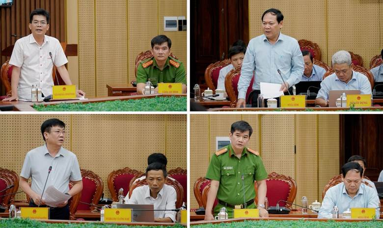
Delegates attend the meeting
In recent years, land surveying and data digitization efforts have achieved significant results, notably the successful completion of the 90-day campaign to enrich and clean the national land database and synchronize provincial land data with the Ministry of Agriculture and Environment. More than 900,000 land parcels have been integrated into the system.
The work of cadastral surveying, map preparation and updating, land registration, cadastral record preparation, and land database development has been implemented comprehensively from the provincial level to grassroots authorities.
According to recent reviews, land databases in 96 commune-level administrative units currently manage more than 1.6 million land parcels. Of these, over 458,000 parcels meet the criteria of being “accurate, complete, clean, and dynamic,” while more than 1.1 million parcels still require further refinement.
However, 65 communes and wards across the province, including 25 eastern communes and wards and 40 western communes and wards, have yet to establish land databases, or possess databases that are not operationally usable. These areas require cadastral surveying, map preparation and updating, land registration, cadastral record development, and national land database construction for more than 2.2 million land parcels.
Minh Thiện